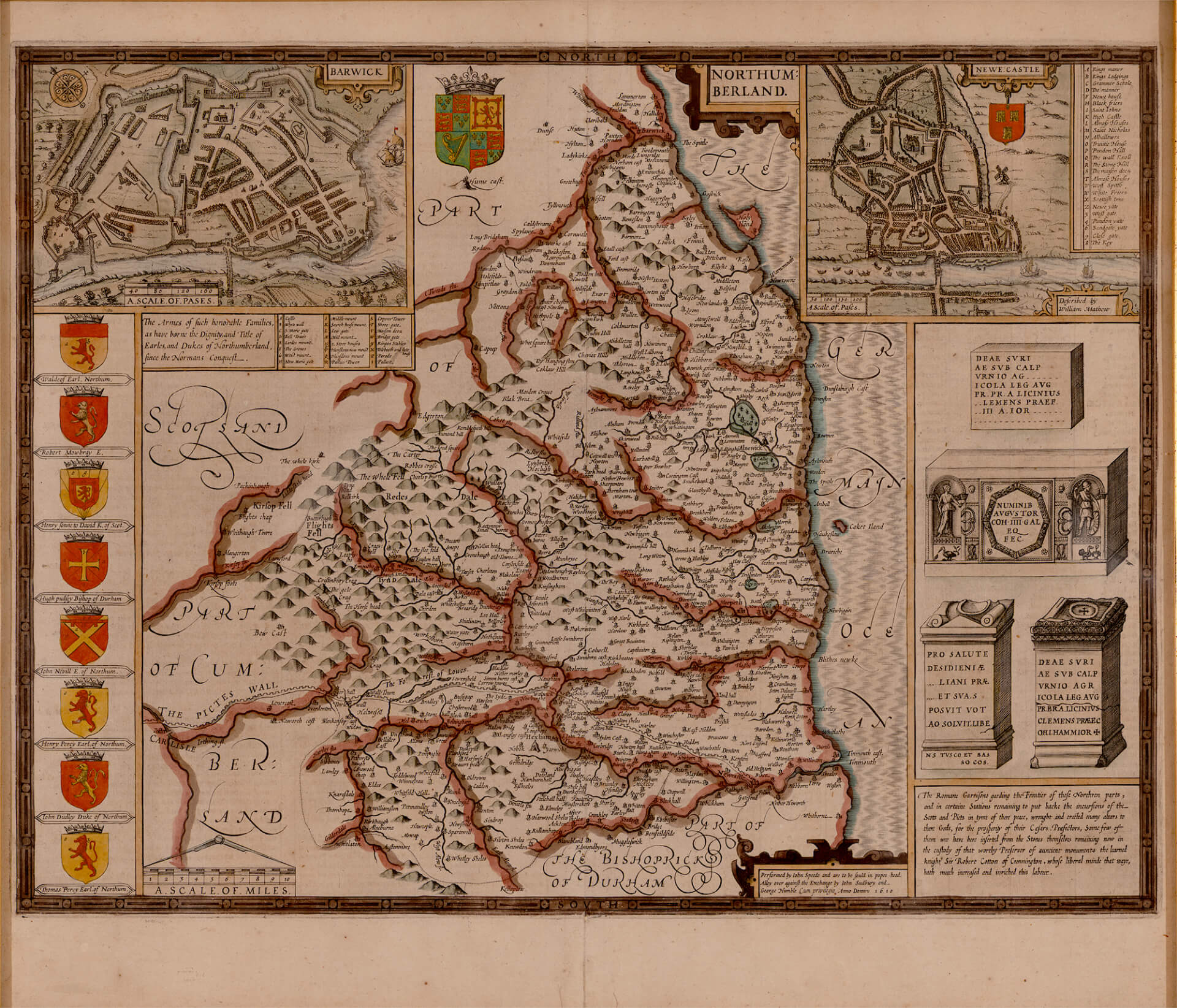
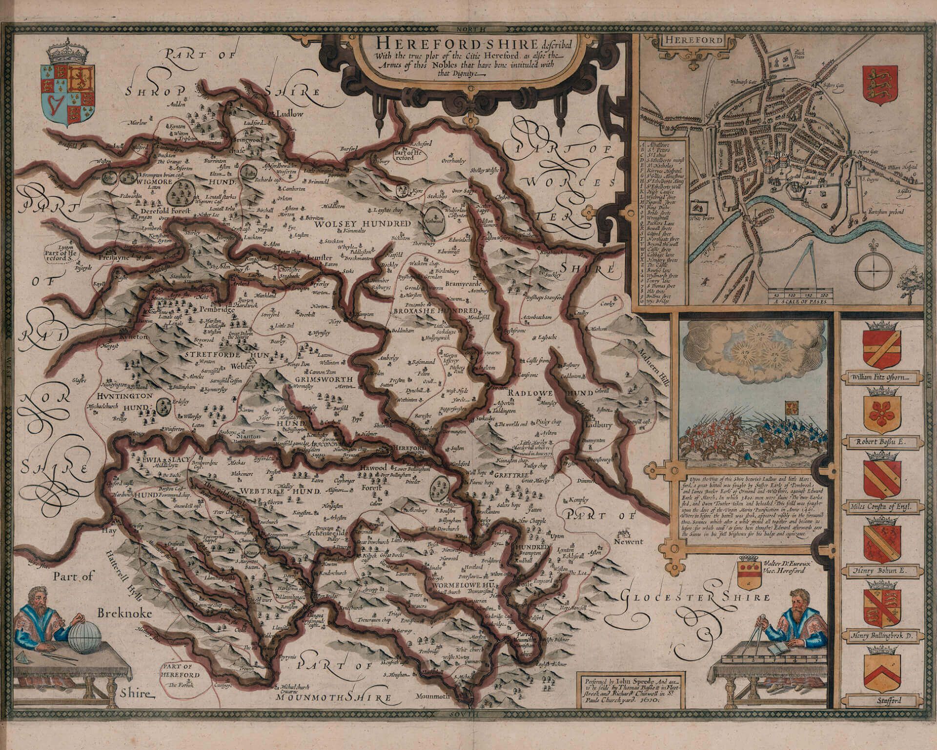
Maps of Great Britain
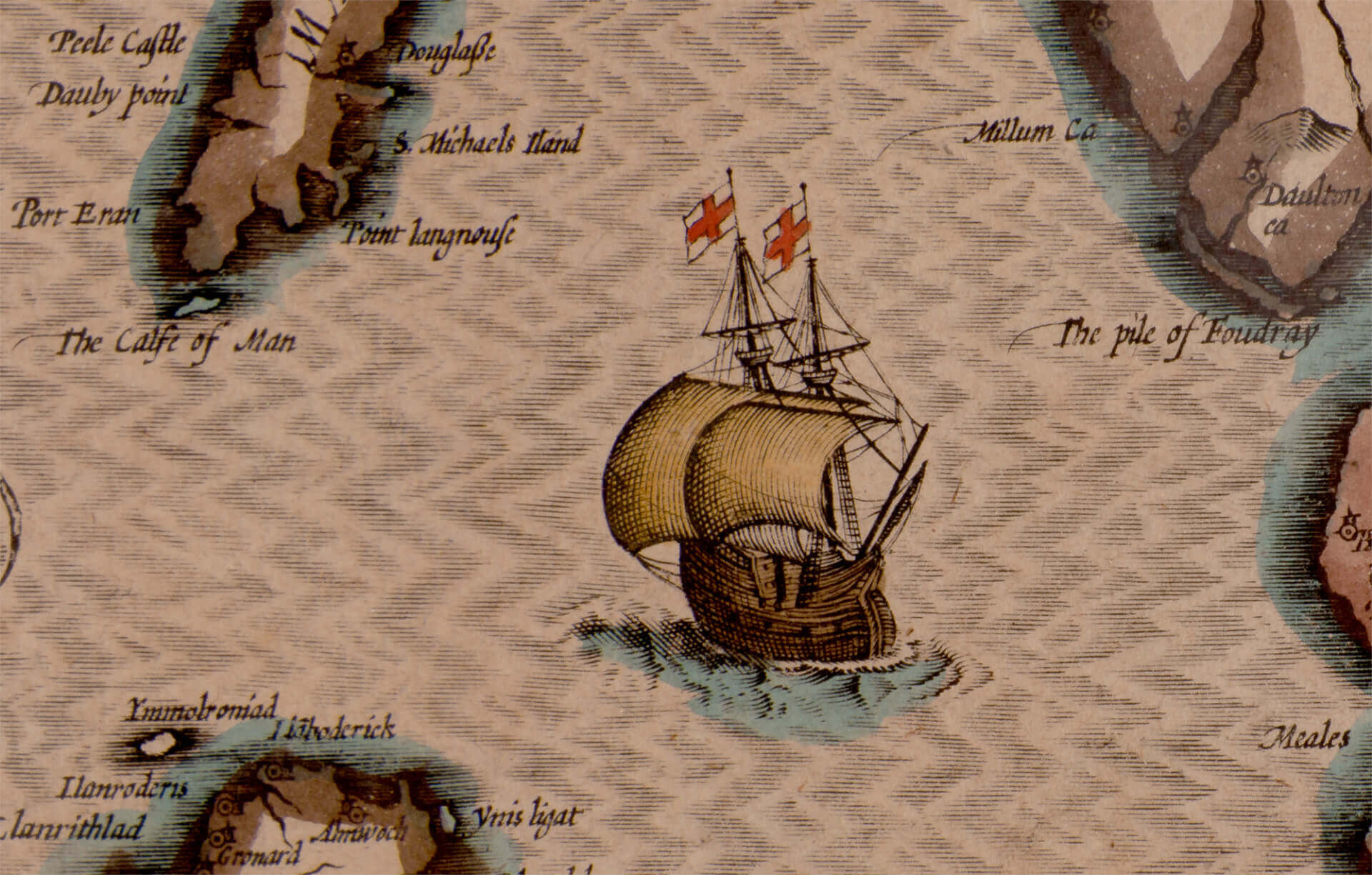
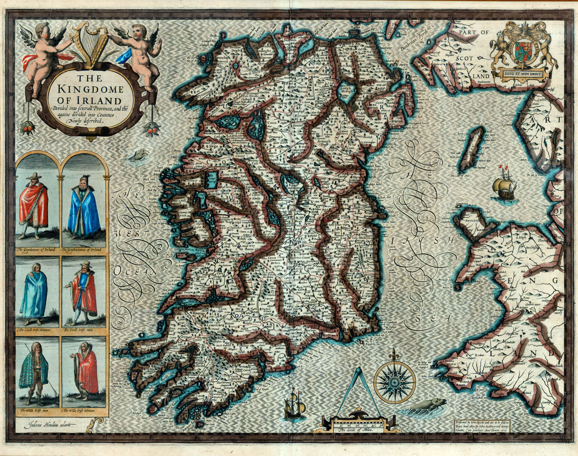
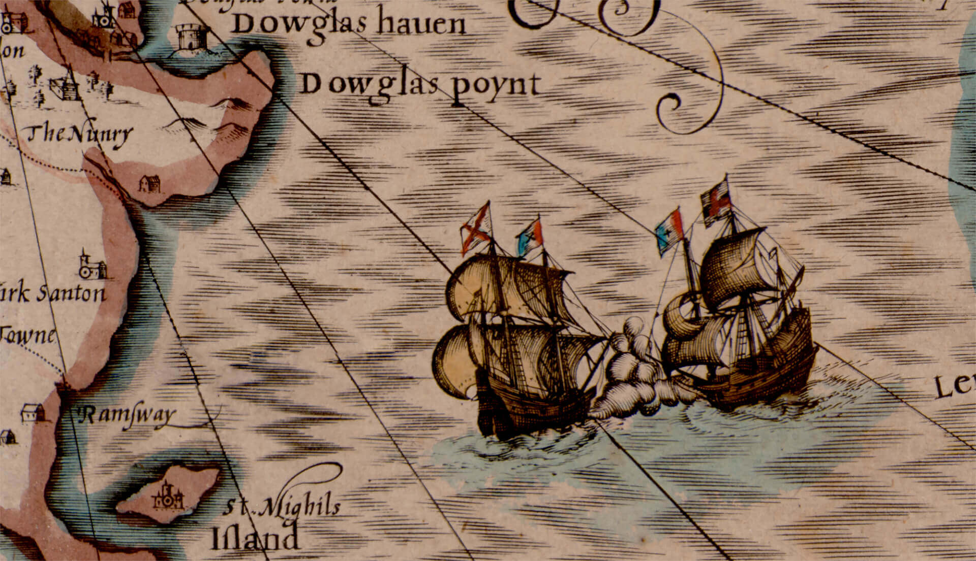
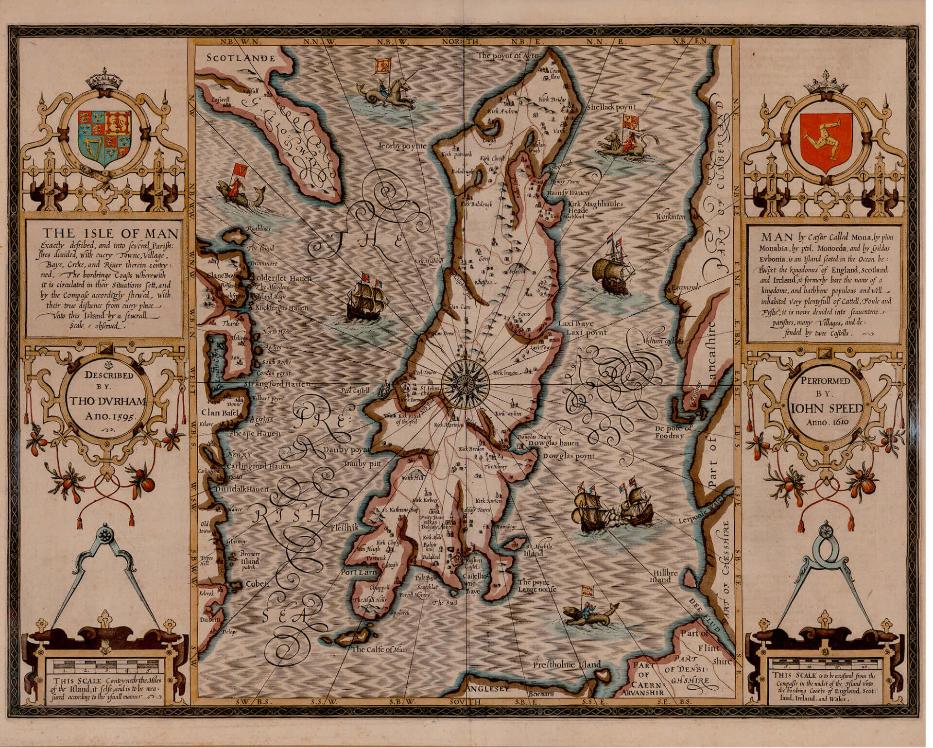
These historic maps by John Speede (circa. 1610), have been reproduced at the highest standard. 6 maps, including Berkshire, Isle of Man, The Kingdom of Ireland, N. Herefordshire, Northumberland and Norfolk. Repeat – 63’H. at 9’V. (As with all Zoë Design patters, custom sizing is fine)

