Paris Map
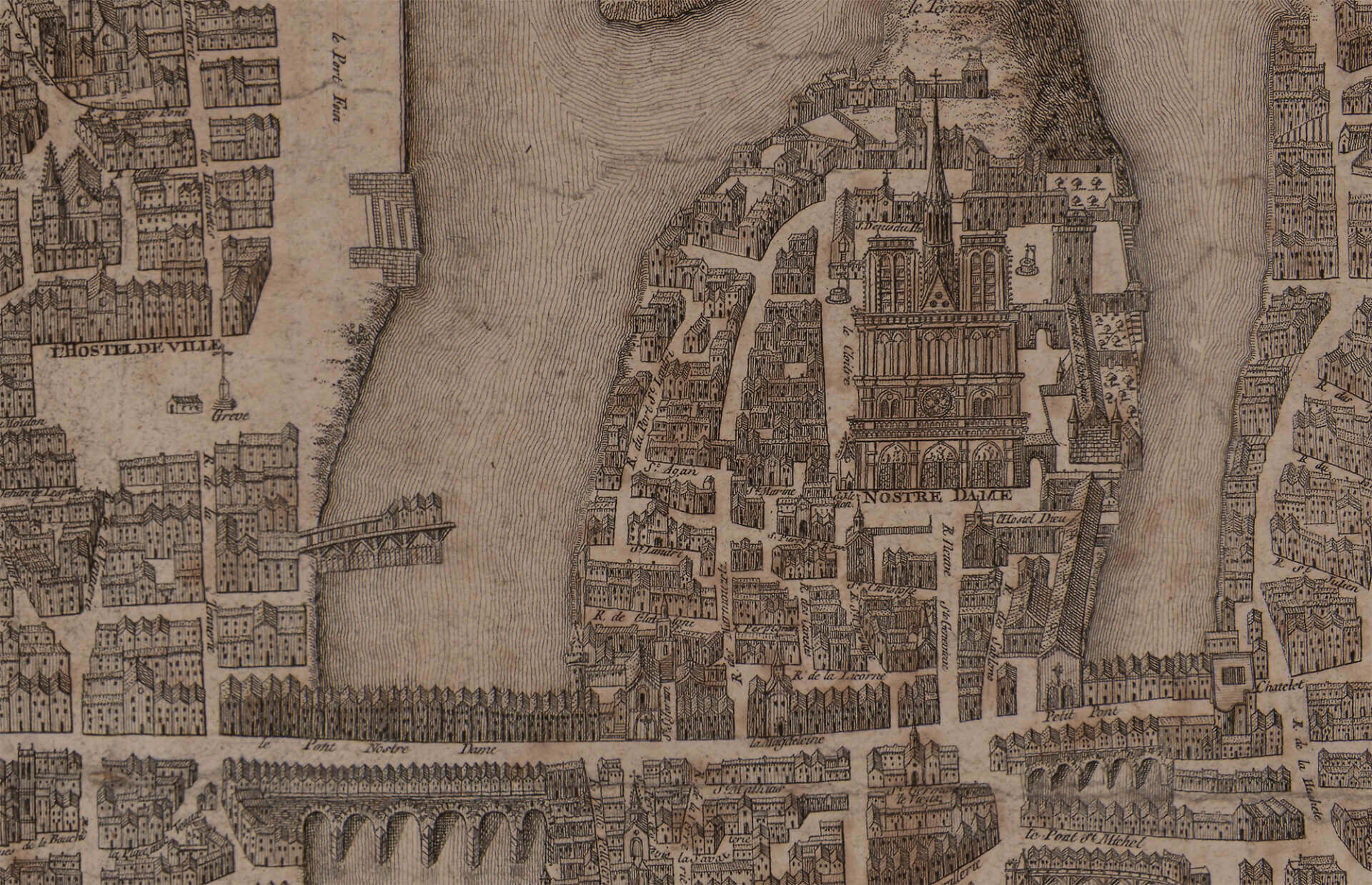
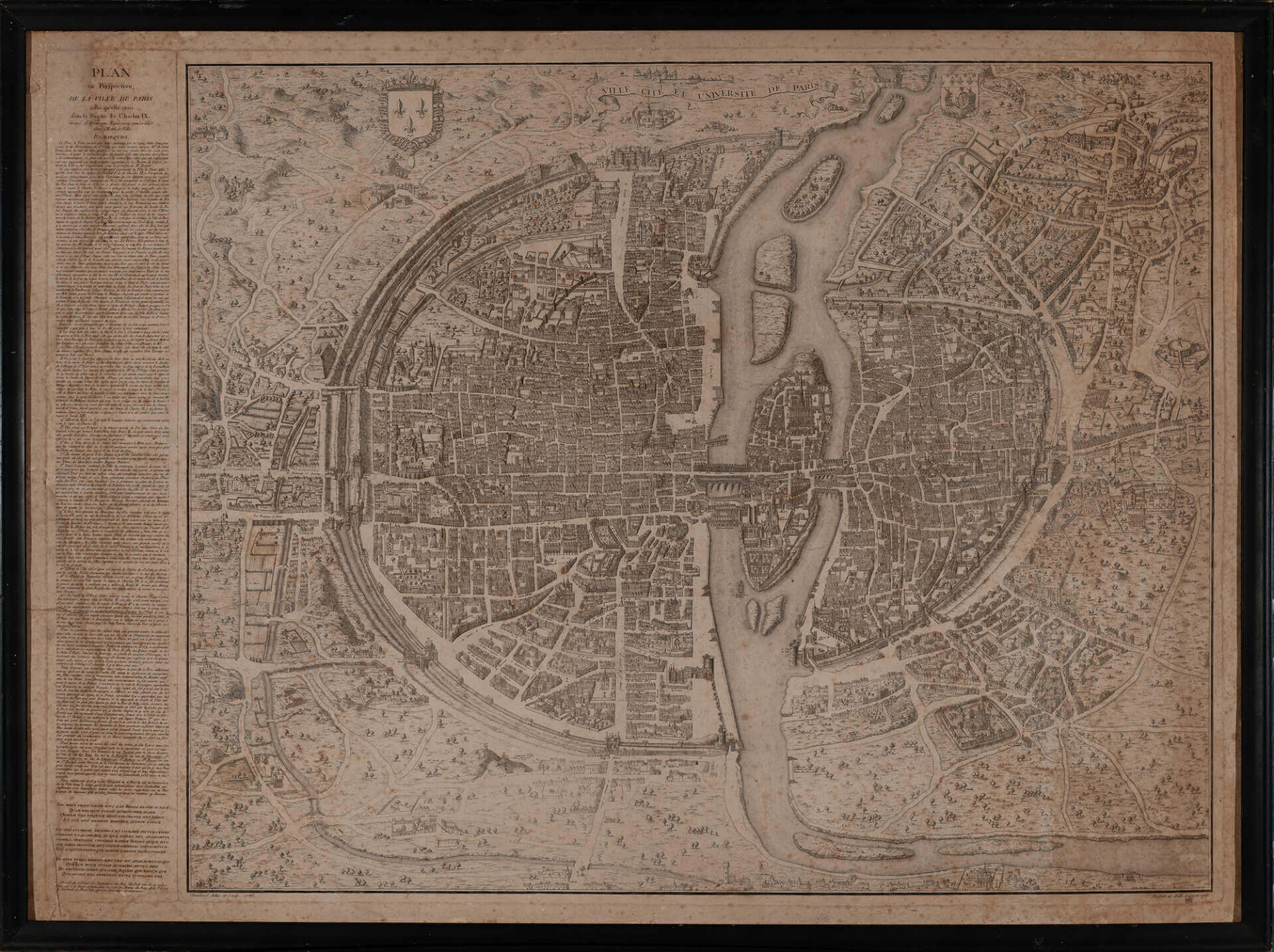
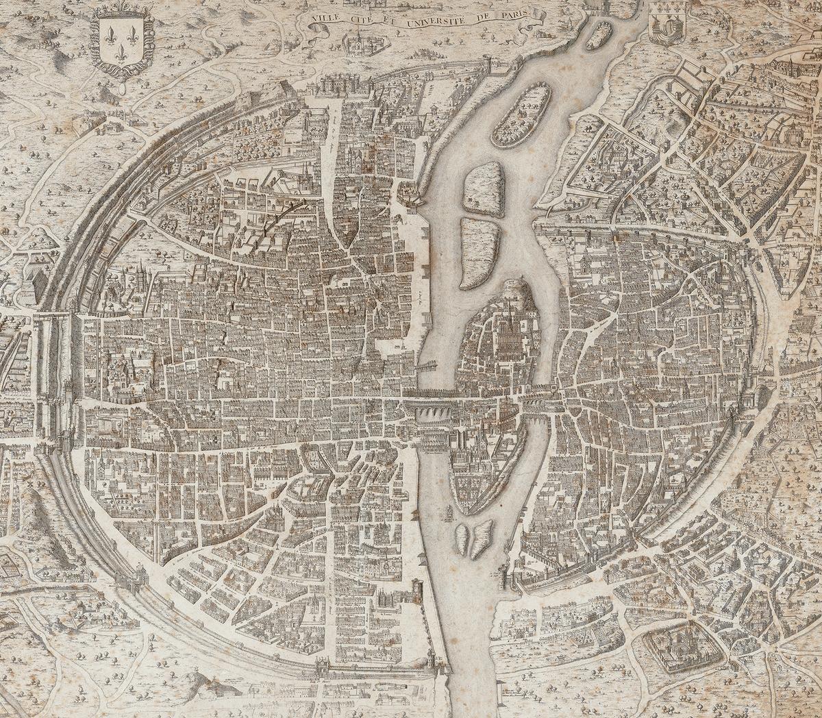
This is a copy of an antique map from the time of King Charles V, Circa. 1358. Available up to 161″H. x 120″V. Description, in French on left.


This is a copy of an antique map from the time of King Charles V, Circa. 1358. Available up to 161″H. x 120″V. Description, in French on left.


